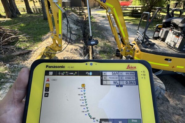
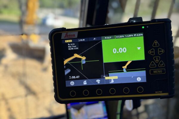
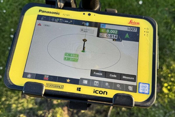
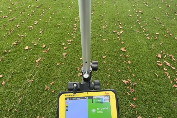
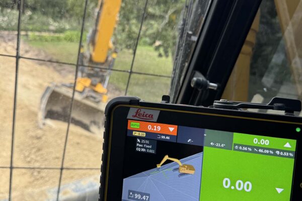
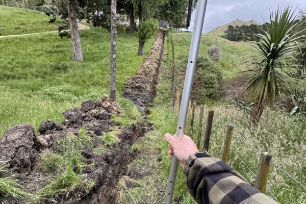
GPS mapping captures accurate maps and information of any piece of land or project site, including contours, elevations, boundaries and other important features. If you’re planning any land development or need to record as-built features, GPS mapping allows you to record and plan your project accurately and efficiently to streamline work. It’s a valuable tool for landowners and property developers who are planning any earthworks or construction or who need records for compliance purposes.
GPS mapping services include:


